displaying 103 results

Alternative text in ArcGIS StoryMaps makes content more accessible to those with limited vision.

ArcGIS Pro is a toolbox, and inside this toolbox is an almost limitless set of tools.

A new layer type, catalog layers, are useful when working with maps or scenes that contain a large amount of data.

Using the REST service URL to build maps and apps is no longer a best practice.

Robust field descriptions save time and ensure accuracy for anyone using datasets for analysis.

Know how to save the settings for layers and maps will save you time.

ArcGIS Image for ArcGIS Online, an extension to ArcGIS Online, makes imagery more accessible and more easily managed.

Save time using Data Loading tools for ArcGIS Pro.
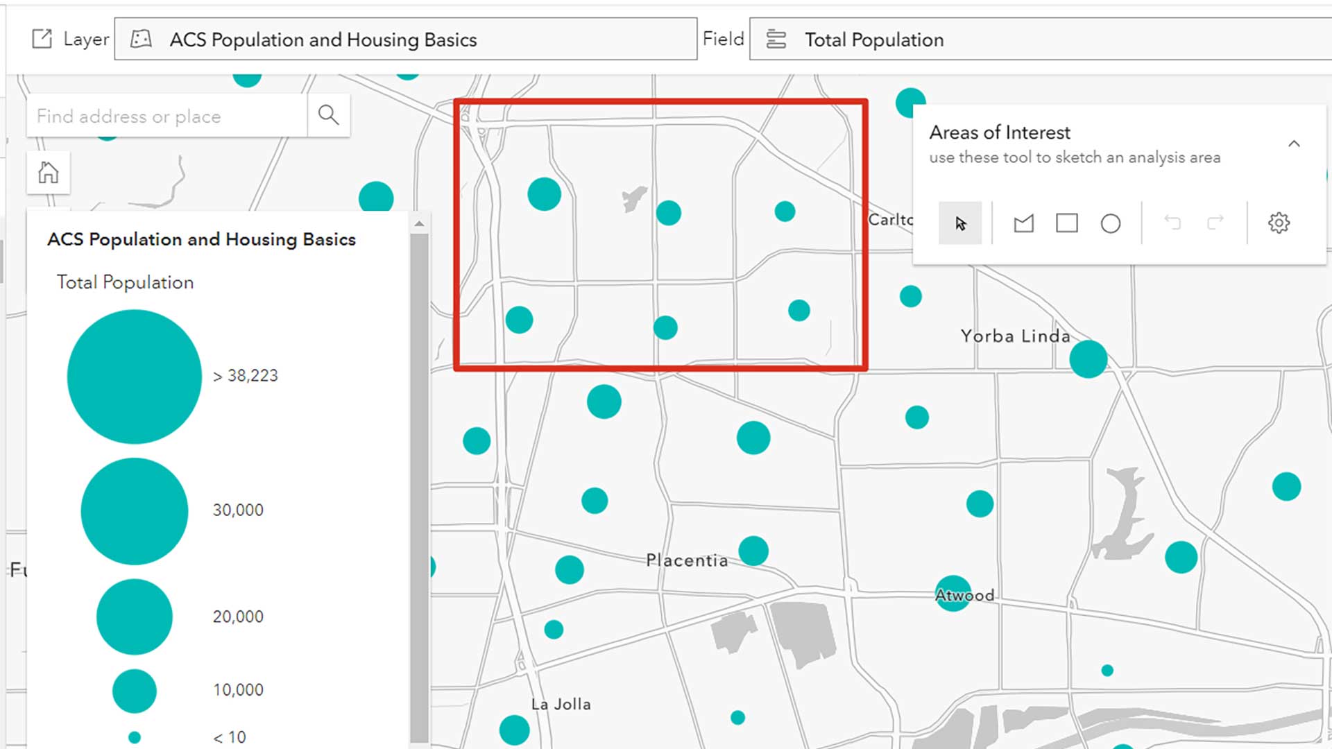
American Community Survey (ACS) data is based on a sample of the population, therefore error due to sampling.

An index is a thoughtful combination of two or more numbers that give us a single measure to use and indexes can be used to build maps.

Best practices for building effective and targeted dashboards.

Collect data using ArcGIS QuickCapture and your voice