At its most profound, GIS fosters collaboration to tackle the world’s most complex problems.
August 16, 2017
The changes that have taken place in mapmaking over the past 50 years began with a new technology—geographic information systems. GIS technology is the central component of the larger category of geospatial technologies that combined to digitize geographic information.
These technologies unlock geographic information from the prior static 2D map, allowing intelligent queries that deliver answers about why something happens where. This way of looking at our world strengthens the understanding of how people, animals, the environment, and the built environment interact. The outcome is a more holistic knowledge using a data-driven problem-solving approach that we call The Science of Where™.
Knowing the power of GIS
While maps have never been more central to our lives, few people know about GIS. This blog will relate innovation in the real world to the power of GIS, which rises from the unique way it connects seemingly unrelated information through the common attribute of location.
Here, we will describe what GIS users do but without the jargon-heavy language that only they would know. We won’t dive deeply into how results are achieved, as Esri has many channels for that information. Instead, you’ll learn about GIS through stories that show the use of location intelligence for businesses, government, natural resource management, public safety, transportation, utilities, and education.
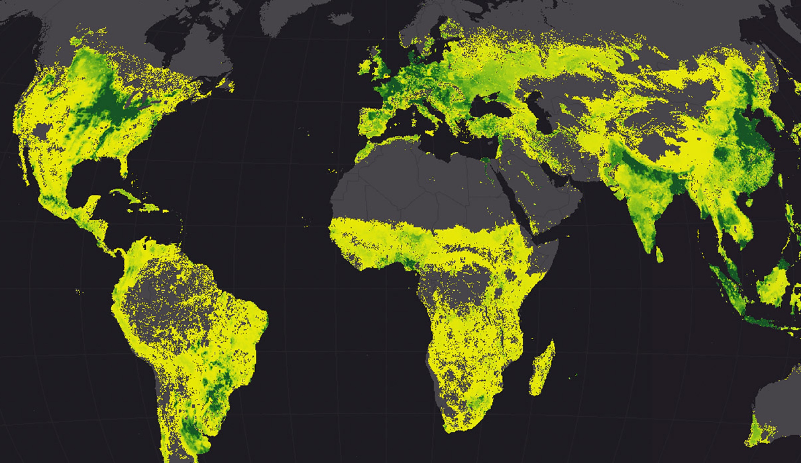
See more about how smart mapping makes mapping easier and more impactful.
At its most profound, GIS fosters collaboration to tackle the world’s most complex problems.
We’ll share tales of digital transformation for those who have embraced an enterprise approach that makes GIS accessible anywhere and on any device. You’ll also learn how GIS is a key component for creating smart communities.
Welcoming all
This blog intends to create a welcoming home for those new to GIS technology as well as seasoned users. For those new to GIS, we hope—together with the GIS community—to spark your interest in a unique tool that links the creativity of the right brain to make beautiful maps with the ability of the left brain to make data-driven decisions. For those who know and love GIS, we hope you’ll share our posts with your friends, family, and broader networks to spread the word about what GIS can do.
GIS is many things to many people—from apps for making smart maps to systems for connecting workflows and unlocking insight. At its most profound, GIS fosters collaboration to tackle the world’s most complex problems.
Please dive in, share these posts, let us know what you want to see here, and stay tuned.

Geospatial news for executives, managers, and tech professionals
Share feedback and ask questions