Healing the Watershed
Researchers at Taita Taveta University are using imagery and ArcGIS technology to mitigate the grim effects of gully erosion in southern Kenya.
Researchers at Taita Taveta University are using imagery and ArcGIS technology to mitigate the grim effects of gully erosion in southern Kenya.
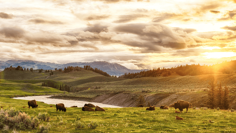
American Prairie reflects on how GIS improves operational management to support conservation efforts.
Terraformation is shaking up the reforestation game by using GNSS and ArcGIS technology to map plants that mimic the growth of native ecosystems.
Listen as James Hardcastle from the International Union for Conservation of Nature points to signs of positive change in planetary conservation.
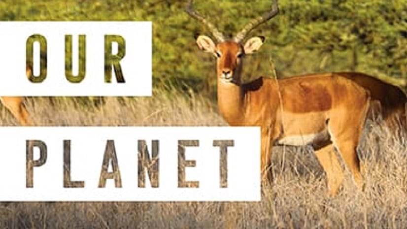
Preserving Our Planet, a new title from Esri Press, explores how conservationists use GIS to meet challenges to biodiversity preservation.
The California Natural Resources Agency mobilized to develop an interactive engagement hub, Pathways to 30x30.
Using ArcGIS technology, NatureServe has applied a new standard for monitoring ecosystems at risk of collapse across North America.
Conservation social scientist Dr. Meredith Gore discusses the value of technology and community interaction in investigating nature crimes.
Using GIS-based weed-spraying technology, environmental restoration organizations are working to reverse the impacts of industrial development.
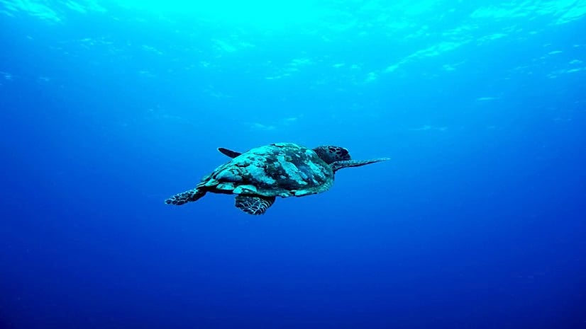
Esri environment and conservation specialist Sunny Fleming details how geospatial technology is key in preserving local wildlife.
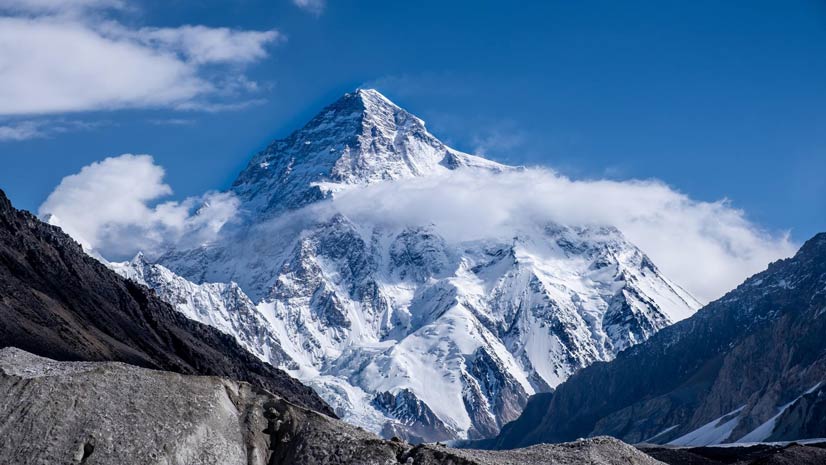
Former Patagonia executive Rick Ridgeway talks about how his mountaineering experiences molded his views on environmental stewardship.
Former NASA astronaut Kathryn D. Sullivan talks about her experiences as both a space and maritime explorer.