A Fresh New Look for Pop-Ups
Learn about the new pop-up design updates to ArcGIS Online and ArcGIS Maps SDK for JavaScript.
Learn about the new pop-up design updates to ArcGIS Online and ArcGIS Maps SDK for JavaScript.
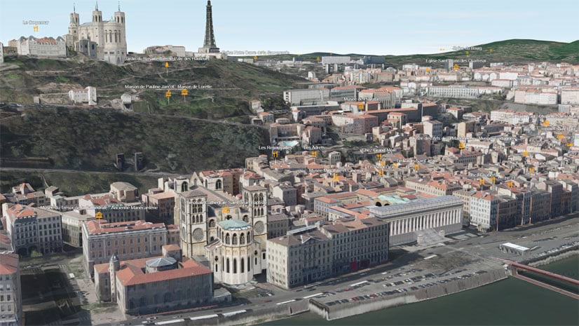
URL parameters can be used with Scene Viewer to create or modify scenes. Learn how from these examples.
In this tip, learn how to make a walk-time map in ArcGIS Online using sketch layers and smart mapping styles.
Learn about how to use media layers in Map Viewer to tell unique, innovative stories with ArcGIS StoryMaps.
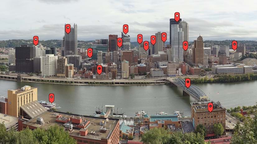
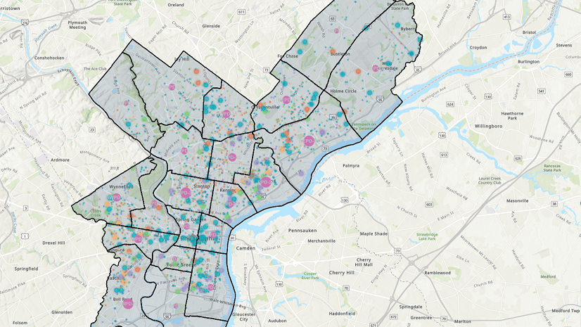
Check out this collection of ArcGIS Online apps that you can configure or use that let you swipe or compare multiple layers or maps.
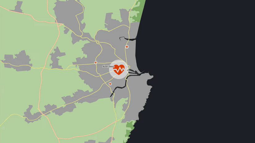
Learn how to make a sea level rise map in a minute or less using ArcGIS Online and ArcGIS Living Atlas of the World.
Run and automate ArcGIS Online administrative reports to manage members, content, credit usage, and activities in your organization.
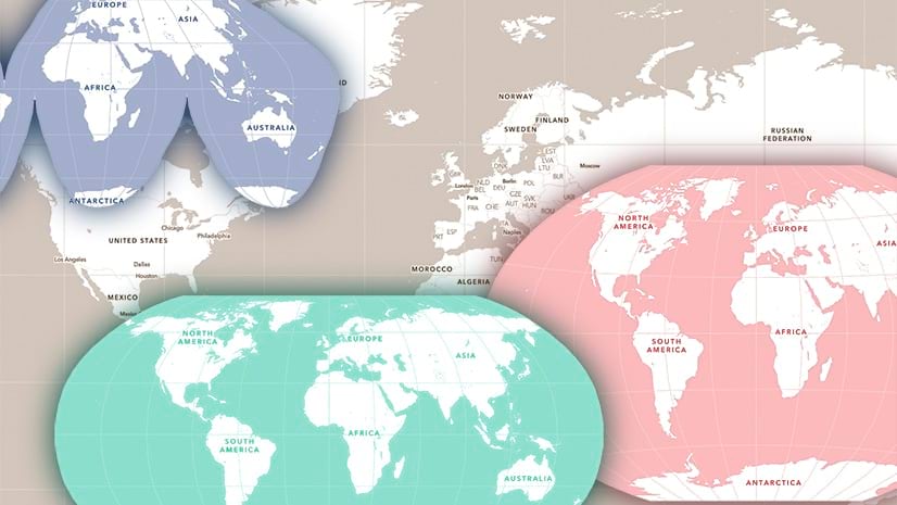
Use ArcGIS Pro to build Human Geography-style vector basemaps in different projections, for use in ArcGIS Online.
Learn how to make changes to web maps in ArcGIS Online and and ArcGIS Pro, and share updated versions of your maps.
Learn about the new analysis experience in Map Viewer, including analysis history functionality and more.
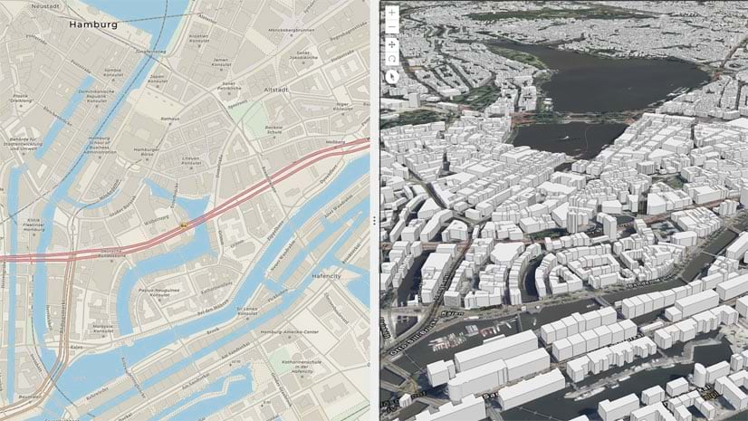
KML is among the many file types you can add via URL or from local file sources for use in Map Viewer. Here's how.
You can use any PNG, GIF, or JPG image as a point symbol when authoring a map using Map Viewer. Learn how in this tip.