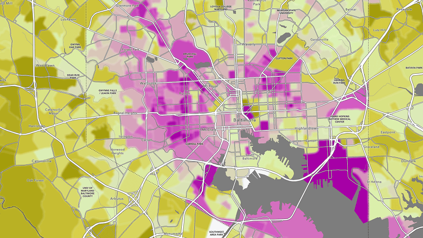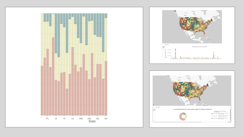
The Right Chart for the Right Map
Much like how there are principles behind food and wine pairings, there are principles when it comes to pairing charts with maps.
Much like how there are principles behind food and wine pairings, there are principles when it comes to pairing charts with maps.
In this introductory guide, you'll learn the basics of creating and using network diagrams for ArcGIS Utility Network.
With imagery and remote sensing, the Audubon Society is working to preserve waterbird habitats in the Colorado River delta's largest wetland.
Blur is the perfect effect for data that has been protected with differential privacy. Learn more about using the effect in this blog.
Multigenerational households are on the rise. In this StoryMap created with ArcGIS StoryMaps, explore the new look of American families.
When displaying photos or other images in ArcGIS Online web map pop-ups, it’s sometimes the small things that can make a big difference.
Explore the possibilities of mapping in ArcGIS Online. This video shows you how to get started with creating a map in Map Viewer.
Learn to map pink lakes around the world and make the map pink to match its colorful theme.
Technology evangelist Bern Szukalski walks you through how to access and best use subscriber content on ArcGIS Living Atlas of the World.
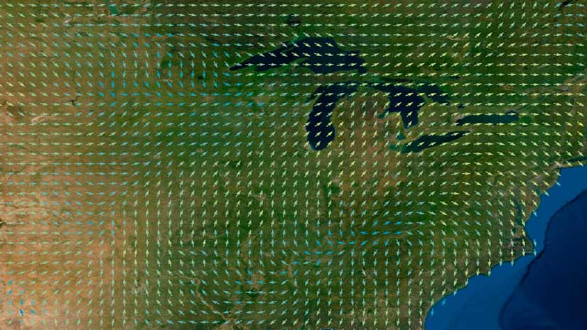
Learn the ArcGIS capabilities and workflows that give you the ability to visualize wind and ocean current data.
Esri cartographic designer Andy Skinner teaches you how to use sketch layers to enhance features in your ArcGIS Online maps.
Kenneth Field, author of Thematic Mapping, writes about the importance of ethics in mapping as well as the core set of values to follow.