
We have so much more confidence in our data. We feel good about having a conversation with someone because we know exactly where our data stands and what we need to do to fix it.
Terri Bunting
Tucson Water Department
An extension for ArcGIS Pro and ArcGIS Enterprise
Implement quality-focused workflows to ensure products meet a defined level of quality.
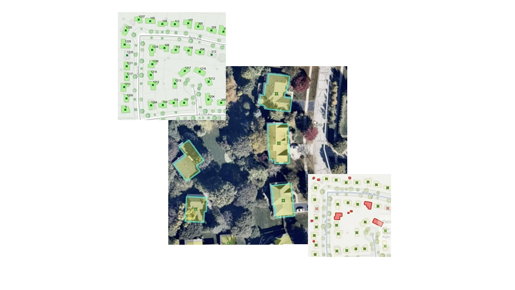
Implement a consistent, repeatable process for geospatial data validation that allows you to find, record, and centrally track errors. Increase trust in your GIS data and confidence in decision-making by identifying data that does not meet your organization's quality standards.
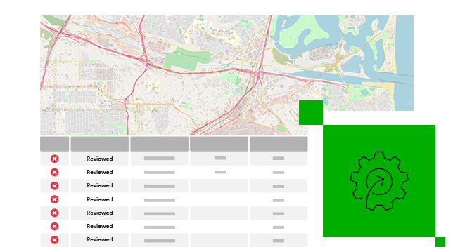
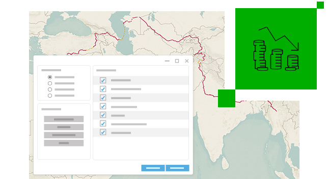
Eliminate the complexity and cost of creating and maintaining custom code in data quality workflows. The out-of-the-box configurable checks in Data Reviewer enable you to automate your geospatial data validation workflows without the use of custom code. Leverage data quality reports to expedite error correction and identify workflows that do not meet your requirements.
Get more work done faster by identifying errors that impact the successful completion of critical projects. Inform users of any data liabilities that may impact their work.

Keep track of your GIS data quality and increase confidence in decision-making by publishing metrics that inform executives in your organization.
We have so much more confidence in our data. We feel good about having a conversation with someone because we know exactly where our data stands and what we need to do to fix it.

ArcGIS Data Reviewer is an extension for ArcGIS Pro and ArcGIS Enterprise. Use it to detect errors, improve spatial data quality, and integrate reliable data into your GIS project.
Get started with ArcGIS Pro, the desktop GIS application for data visualization, advanced analysis, and authoritative data maintenance in 2D, 3D, and 4D.
Get started with ArcGIS Enterprise, the complete software system to power your location intelligence.
Please share your information and our sales team will contact you soon. We look forward to communicating with you.